
 You may have heard about Google Street View which provide "street level" views along roads, enabling you to type in an address and see panoramic pictures of individual businesses and houses from the road. Google started the service last May in a few cities and it's now available in many States across the USA.
Google gets street view pictures by driving cars along public roads with Cameras mounted on the roof taking pictures in all directions. These pictures then get associated with a particular address.
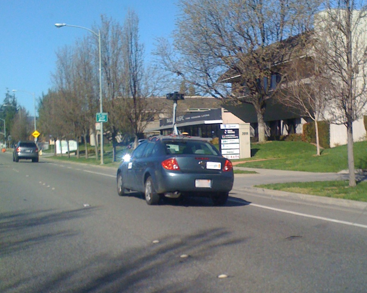 This is an example of one of the Google cars that is used to take pictures. Notice the cameras on the roof that allow for a 360 degree view.
 In the past six months, Street View for most of the roads in Bedford have been added.
 Google Street View is available for the streets with blue outlines. As you can see, this covers almost every road in Bedford. Click on any image for a larger view.
 To use Street View, you can go to Google Street View Maps and enter in an address. For example let's say we want to see a picture of Papa Gino's. All we do is enter in the address, in this case, 310 Great Road Bedford MA. The following Image comes up.
 Using the controls on the image, you can zoom in, pan left and right. You can also use the arrow keys to move along Great Road. For example you could click on the left arrow (NW) and it will show images as you head towards the center of town almost as if you were walking along. Or you could click on the pan left button and it will show you the other side of the street as in the below image.
 In this example, I've used the pan left button to view the Travel Lodge on the other side of the street.
 Google Street View only takes images from public streets so you may not be able to view business that are located in a shopping center or houses far from a public street.
Another way to view businesses and houses in Bedford is through the Accessors's Database on the Town of Bedford Website. Just enter the street address or the owner's name. For this example, we'll take a look at Papa Gino's again, so we enter 310 Great Road, and it brings up a picture, the owner and the assessed value (in this case $661,900). Click here to see the example.
The Bedford Town Web site also has a Online Property Viewer that you can use to view property and customize with lots of information like zoning, abutters and aerial photography. Like the other web sites, you just enter an address.
 An "aerial picture" of Papa Gino's using the Online Property Viewer. This photograph appears to be at least a few years old as you can see the previous DPW building on the right.
2 comments:
You may want to take a look at wikimapia.org too... It's kinda addictive though. It's an annotation overlay over the Google maps data.
I went through and tagged up a bunch of Bedford places.
BTW here is their view of Papa Gino's.
Hey Ben,
Pretty interesting site. I spent a few minutes "flying around Bedford". I like how you can tags things. Looks like the imagery is about 3 years old.
Thanks!
Post a Comment